Skip to content
MyKoreanTrip

Mountain park · North Chungcheong, North Gyeongsang

Woraksan National Park

월악산국립공원

A rock peak standing over the water of Chungju Lake.

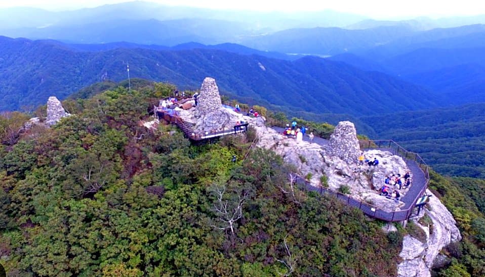
Yeongbong rises to 1,094m in a single steep block above the reservoir, and the last stretch is a long series of steel stairways bolted to the rock.

The park also holds Songgyegyegok valley and the old Silla-era route over Hanuljae pass.

Getting there from Seoul

Door-to-door estimates for a normal day; they stretch on a holiday weekend. Check the timetable before you rely on a last bus back.

  • Bus

    Express coach from Seoul Dong Seoul to Chungju, about 2h, then a local bus to Songgye valley or Deokju.

  • Train

    Train to Chungju on the Chungbuk line, then bus. Slower than the coach.

  • Car

    About two hours. The lakeside road round Chungju Lake is worth driving in its own right.

Wildlife & plants

Animals

Goral on the cliffs, otters in the reservoir arms, plus wild boar and roe deer. Ospreys fish the lake.

Trees & flowers

Pine on the rock faces, oak and maple in the valleys, and wild azalea across the lower slopes in May.

Korea’s wildlife is shy and mostly nocturnal — you’re far more likely to see tracks than animals. Wild boar are the one to know about: keep your distance, don’t run, and never get between a sow and her young.

What grows and lives here

The mountain up close

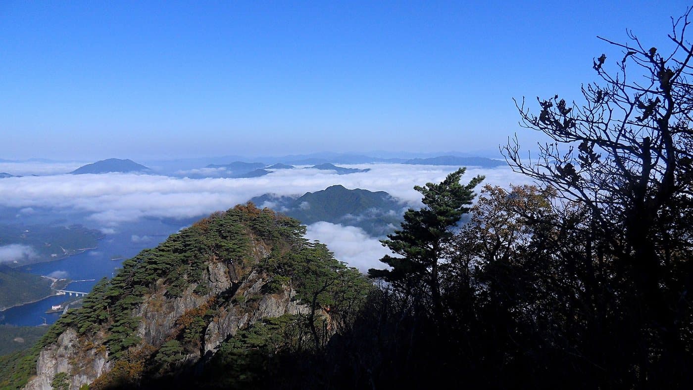
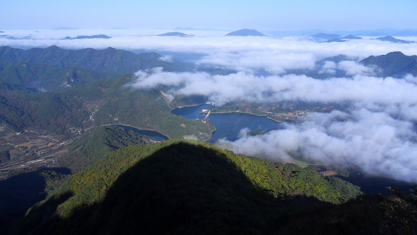
Woraksan stands over Chungju Lake, and the combination is the whole point of the park: a sharp rock summit with a very large body of water underneath it. Early mornings here fill the lake basin with cloud and leave the peaks standing out of it.

A sea of cloud filling the Chungju Lake basin below the ridges of Woraksan

Cloud filling the lake basin

Woraksan

Photo by Ashy Minivet, Public domain

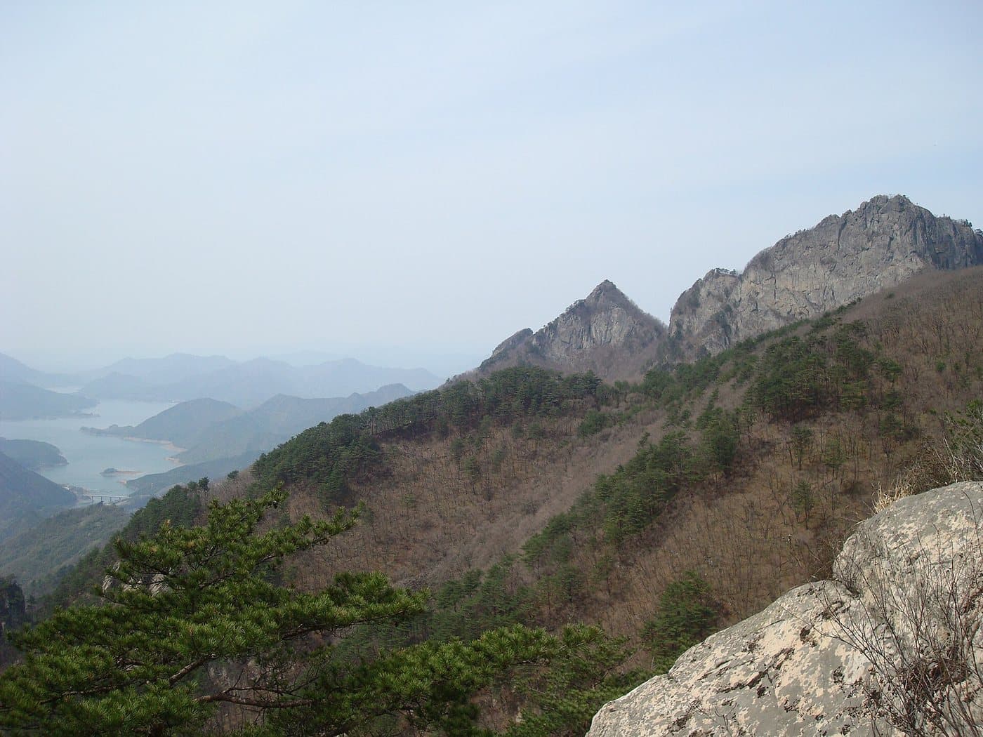
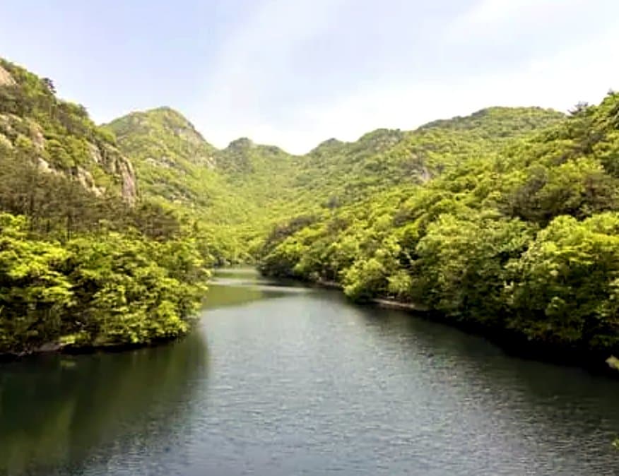
Chungju Lake winding between wooded ridges below Woraksan

Chungju Lake from the ridge

Woraksan

Photo by Ashy Minivet, Public domain

The rocky summit of Woraksan rising above the lake

Yeongbong, the rock summit

Woraksan

Photo by Rhythm, CC BY-SA 3.0

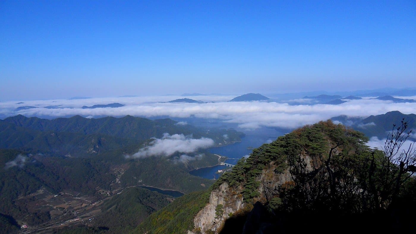
Woraksan's ridges standing above a layer of low cloud

Above the cloud line

Woraksan

Photo by Ashy Minivet, Public domain

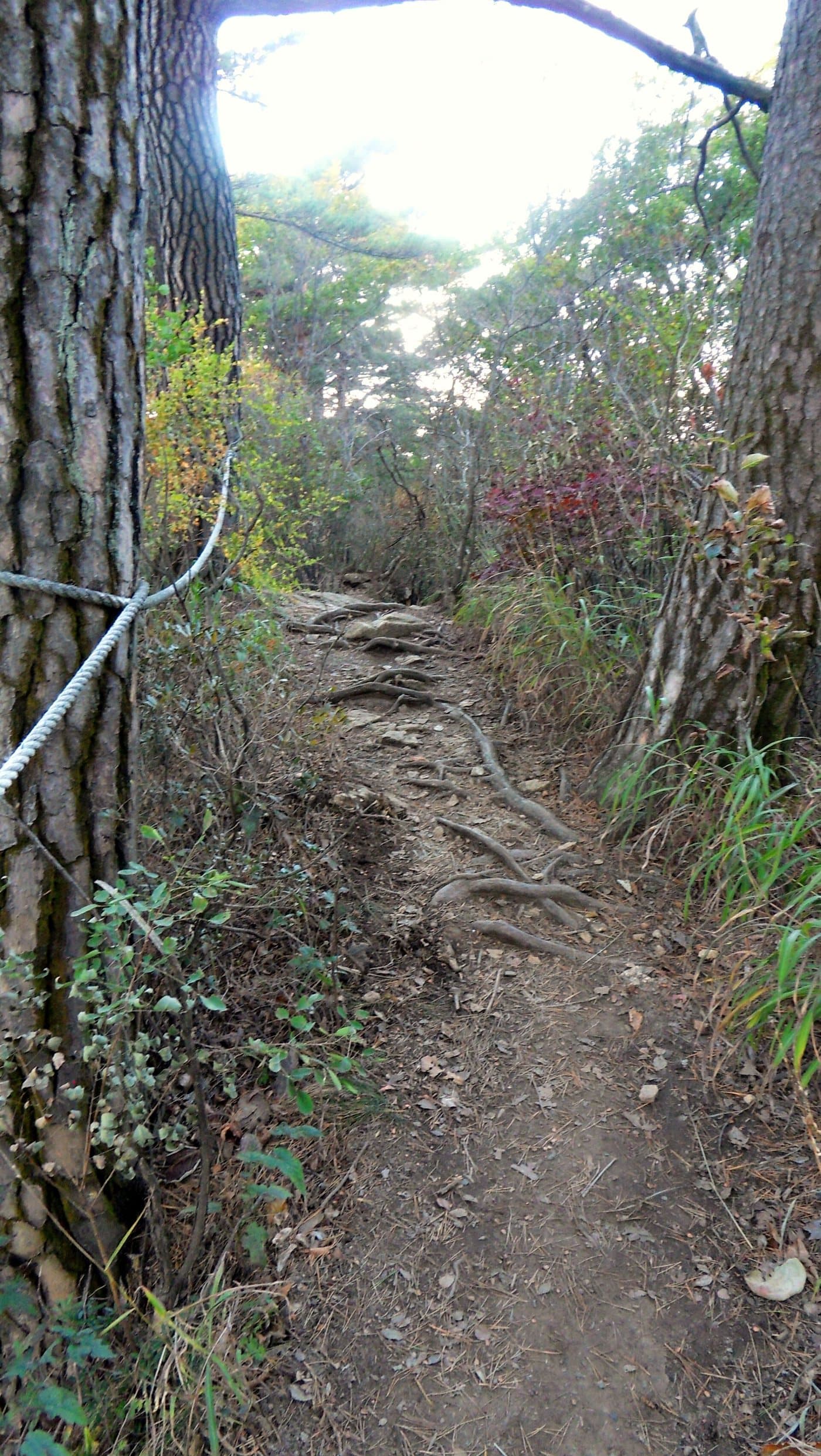
A quiet earth path running through forest at Woraksan

The forest lower down

Woraksan

Photo by Ashy Minivet, Public domain

The last section is ladders

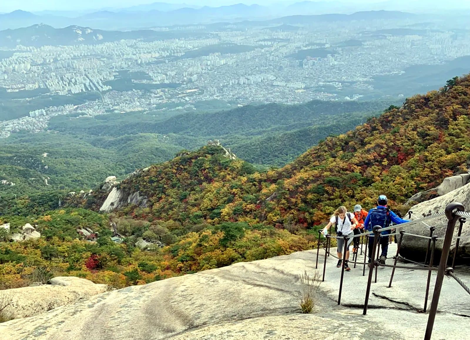
Yeongbong's summit block is close to vertical, and the way up it is a series of steel stairways and ladders bolted to the rock. They are secure and well maintained, but there is a lot of exposure and a queue on autumn weekends. If heights are a problem for you, the ridge below the summit still has the view.

Walking it

Up to the rock, or along the water

Woraksan gives you a choice between a hard, exposed climb to a rock summit and a set of very gentle valley walks. There is not much in between.

Deokjusa to Yeongbong

The summit climb

Time
4 hr up
Grade
advanced

Route: Deokjusa → the ridge → the steel stairways → Yeongbong (1,094m)

Getting to the start: Bus from Chungju or Suanbo to the Deokju valley.

The standard route to the top, finishing on ladders up the summit block. The view over Chungju Lake from the top is the best in this part of the country.

Songgye valley to Yeongbong

The other side

Time
3 hr 30 min up
Grade
advanced

Route: Songgye valley → Botari → Yeongbong

Getting to the start: From the Songgye side, north of the mountain.

Slightly shorter than the Deokjusa approach and just as steep at the top — the ladders are unavoidable whichever way you come.

Deokjusa and Mireuksaji

History without the climb

Time
2 hr
Grade
easy

Route: Deokju valley → Deokjusa → the Mireuksaji stone Buddha

Getting to the start: Same valley as the summit route.

A flat walk to a temple and a large standing stone Buddha from the Goryeo period, associated with the last princess of Silla. No climbing at all, and it is the better option in bad weather.

Chungju Lake by ferry

Seeing it from the water

Time
1–2 hr
Grade
easy

Route: Woraknaru or Chungju dock → across the lake

Getting to the start: Ferry docks around the lake, including Woraknaru below the mountain.

The lake is artificial, created by the Chungju dam, and the ferries run between several docks. Looking up at Woraksan from the water is a completely different park.

Given by walking time; the routes are signed from Deokjusa and Songgye valley.

Mountain and reservoir

A rock peak over a made lake

1984
Designated
288 km²
Area
1,094 m
Yeongbong
Chungju, dammed 1985
Lake

Woraksan means 'moon-crag mountain', from the moon appearing to rise out of a notch in the summit. Yeongbong, the high point at 1,094m, is a near-vertical block of rock that has to be climbed on steel stairways — which is unusual enough in Korea to be the reason many people come.

The park was designated in 1984, just before the Chungju dam finished flooding the valley below in 1985. That timing matters: the lake beneath the mountain is not natural, and the view everyone photographs — peaks above a long sinuous body of water — is barely forty years old.

In the Deokju valley on the southern side are Deokjusa and the Mireuksaji temple site, with a large standing stone Buddha carved in the Goryeo period. Local tradition ties both to Princess Deokju, daughter of the last king of Silla, who is said to have fled here when the kingdom fell.

Because the park wraps around the lake, it works as a two-day trip in a way most Korean mountain parks do not: climb one day, take a ferry the next.
More parks

All 23 national parks →