Instant Download • Mobile-Friendly + Printable PDF
Jeju Fantasy Bicycle Path: The Complete Island Circuit
One 234 km loop right around Jeju, planned three ways — a two-day push, a five-day ride with the sights, or six days camping free on the beaches. Every single day has its own Kakao Map route link.
Preview — see what you’ll download
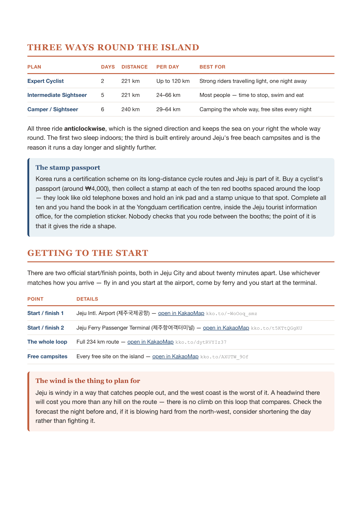
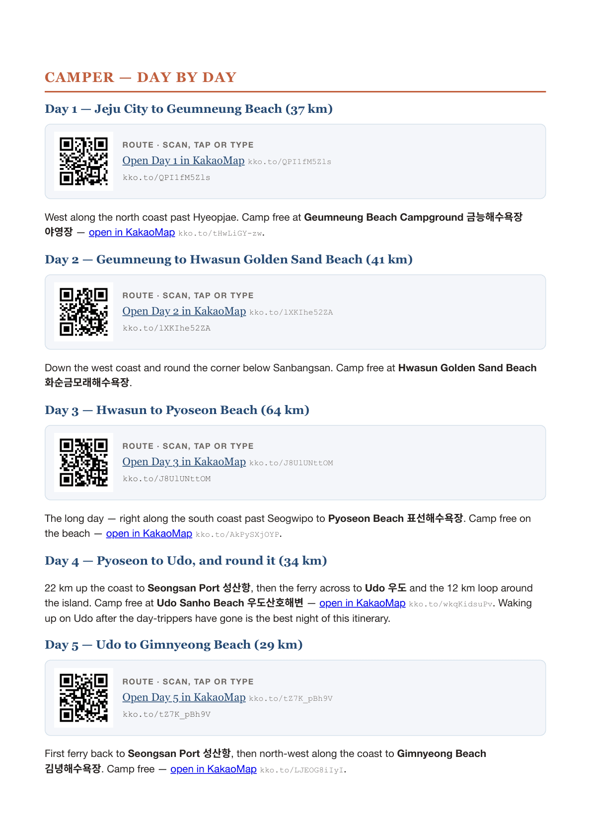
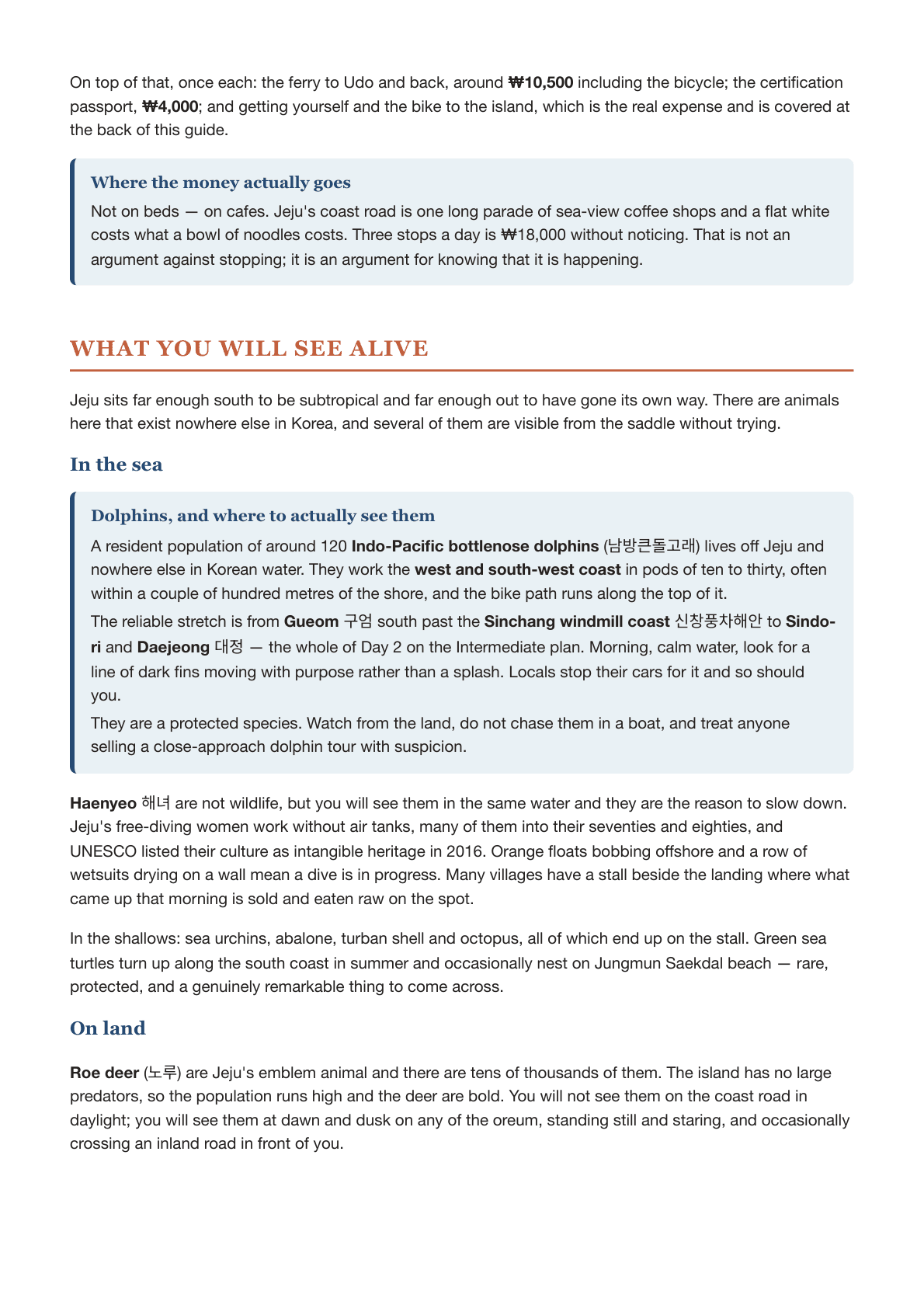
Real pages from the PDF itself — 23 pages, mobile-friendly and printable, yours the moment you buy.
The Jeju Fantasy Bicycle Path (제주환상자전거길) is the only one of Korea's certified long-distance cycle routes that is a loop. You finish where you began, at the airport end of Jeju City — no bag transfers, no one-way train home, no logistics beyond deciding how many days you want.
This guide gives you three complete plans for the same 234 km:
- Expert — two days, 101 km and 120 km.
- Intermediate — five days, with time for Seongsan Ilchulbong, Udo and the beaches.
- Camper — six days, sleeping free at the island's beach campgrounds.
Every day carries its own Kakao Map route — as a link, a QR code and a typed-out URL — so it works on your phone, in a PDF reader, or printed and folded into a jersey pocket.
Where to sleep, in full. Guesthouses, minbak (민박), pensions, motels, hotels and a temple stay, each with real prices and when it is the right answer. How to get a minbak when it is on no booking site — the two Korean sentences that do it. And the nine free beach campgrounds the Camper plan is built around, in riding order, with what each one has.
The camping rules, honestly. Where a tent may go on Jeju and where it may not, why Hallasan is an absolute no, which beaches ban it outright, and what the law says about fires.
What it costs. A day and a whole loop, three ways: camping, guesthouses, comfortable.
What you will see alive. Where to find Jeju's resident dolphins from the saddle, the haenyeo diving offshore, roe deer at dusk, the native ponies, and which birds are on the wetlands you ride past.
Also inside: every stop worth getting off the bike for, each with its own scannable code; the ten certification centres and how the stamp passport works; what the ride is actually like (the whole loop climbs only about 340 m, far flatter than people expect); the one stretch near Sanbangsan that bites; how to follow the blue line painted on the road; getting a bicycle to the island by air or ferry, and what that costs; what to eat along the way; and a page of things worth knowing about the island — why it has no rivers, why the stone walls run 22,000 km, and what the three poles across an old gateway mean.
Check out our other bike routes around South Korea
Four certified routes, four different countries inside one. Buy any 3 guides for the price of 2.
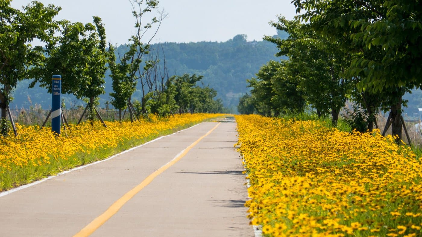
Cycle Across South Korea — 633 km from Seoul to Busan
4 routes, one for every level of rider. Every day mapped from Seoul to the sea at Busan — just open Kakao Maps and ride. No route-finding, no guesswork.
$9.99View itinerary →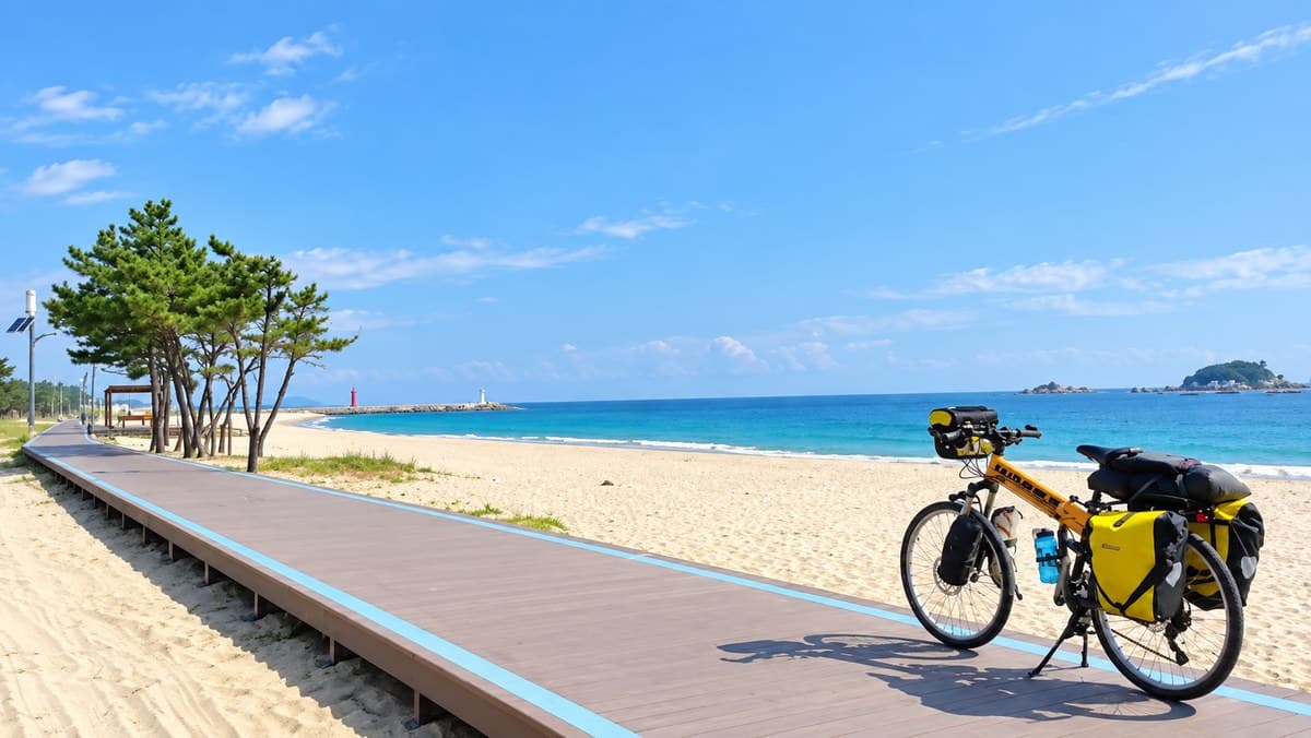
Korea East Coast Bike Route
Cycle from the North Korean border to Busan. 367 km to the official finish, or 609 km the whole way down. Four plans, every day mapped.
$9.99View itinerary →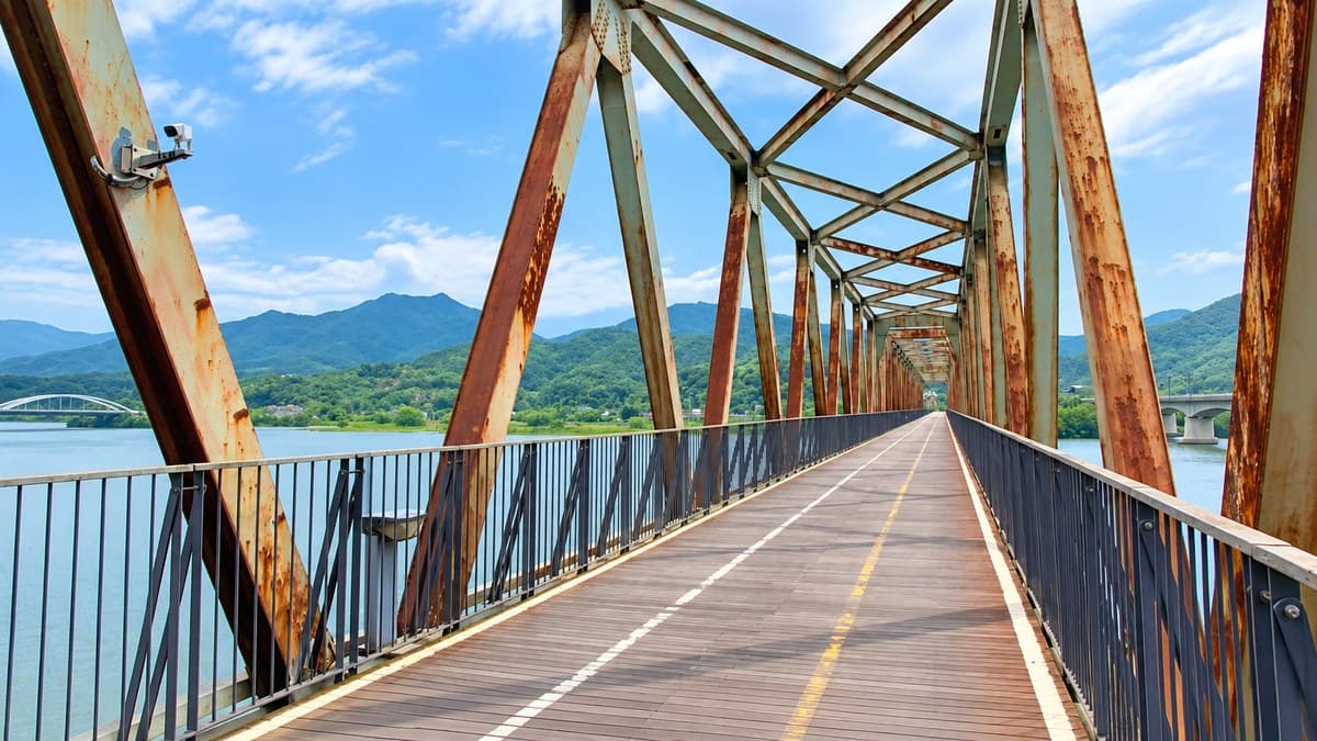
Five Bike Paths Through the Heart of Korea
Five scenic routes beyond Seoul–Busan. Three trips — Seoul to Chuncheon, Goesan to Gunsan, Mokpo to Gwangyang. 716 km, every day mapped.
$9.99View itinerary →
Reviews
No reviews yet — be the first once you’ve tried it.