Instant Download • Mobile-Friendly + Printable PDF
Korea East Coast Bike Route
Cycle from the North Korean border to Busan. 367 km to the official finish, or 609 km the whole way down. Four plans, every day mapped.
The East Coast path starts at a military observation tower looking into North Korea and runs south with the sea on your left the entire way. It is the most consistently scenic of Korea's certified routes, and because the coast road does the navigating, one of the easiest to follow.
It has two endings, and this guide plans both:
- The official path — 367 km to Yeongdeok Sunrise Park. Four days at pace, or seven at a wander.
- The whole coast — 609 km on to Haeundae Beach in Busan. Seven days, or eleven.
Both plans share their first days, so the decision can wait until you are three days in. Every day carries its own Kakao Map route as a link, a QR code and a typed-out URL.
Also inside: the 15 km north of the bus terminal that most people skip and shouldn't; what the border checkpoint asks for; Seoraksan, Jeongdongjin and the cruise ship built on a clifftop; Homigot, the easternmost point of the mainland; which way the wind runs on this coast; and how the route fits into the certification passport and the Grand Slam.
Check out our other bike routes around South Korea
Four certified routes, four different countries inside one. Buy any 3 guides for the price of 2.
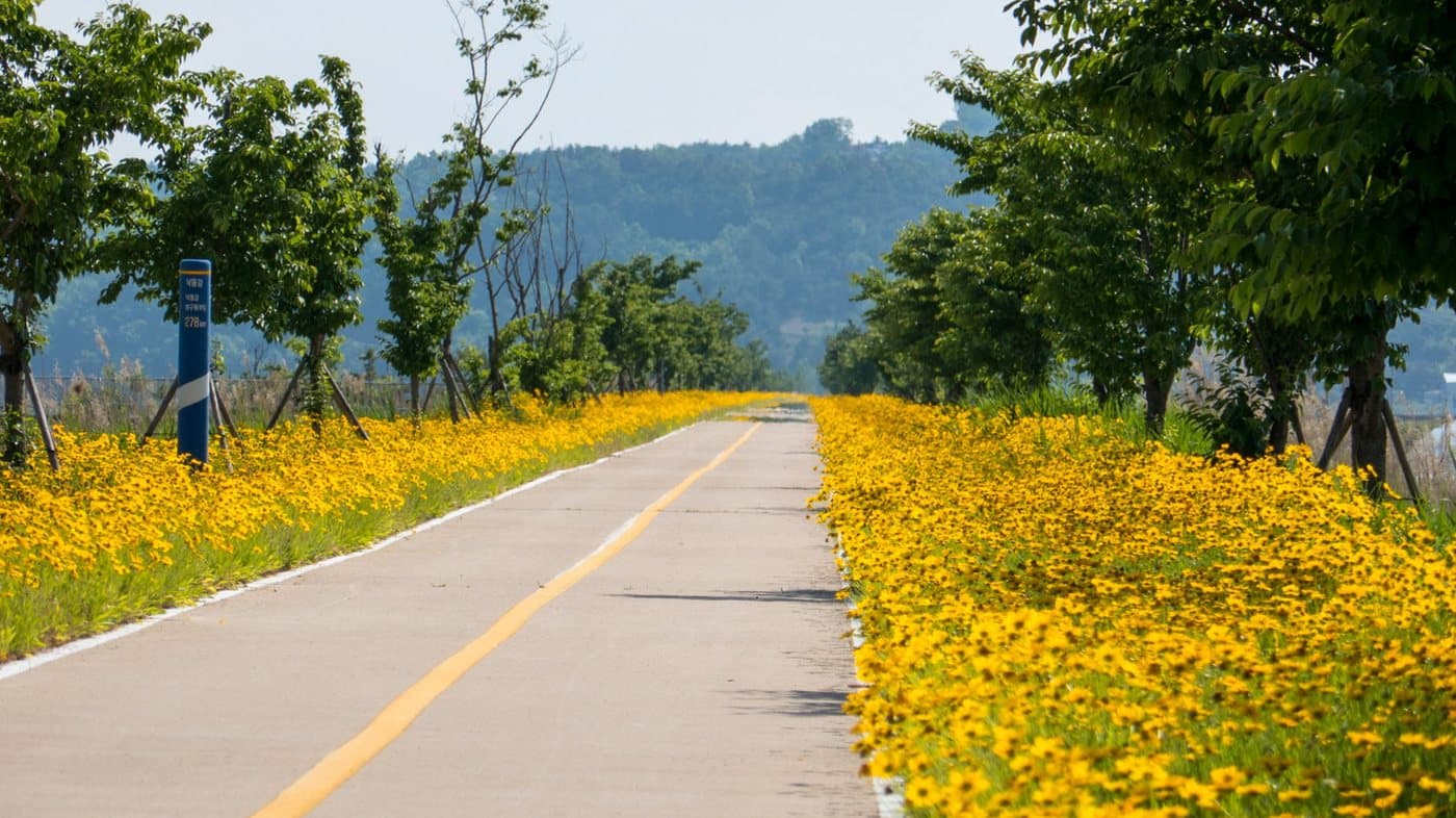
Cycle Across South Korea — 633 km from Seoul to Busan
4 routes, one for every level of rider. Every day mapped from Seoul to the sea at Busan — just open Kakao Maps and ride. No route-finding, no guesswork.
$9.99View itinerary →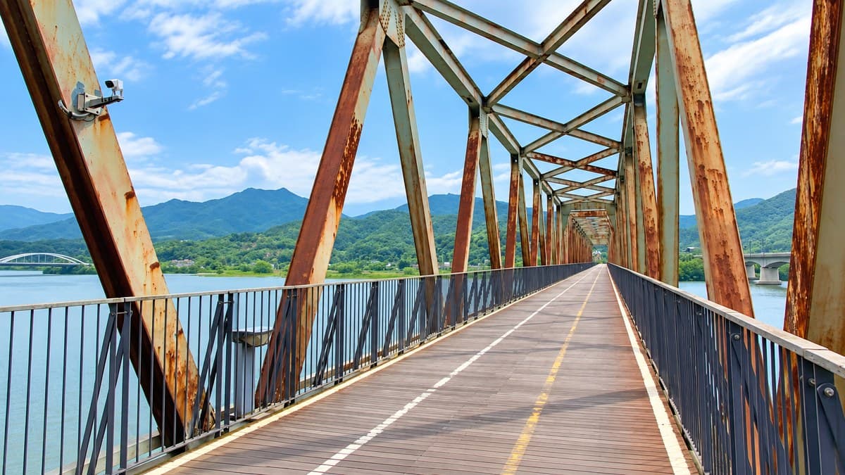
Five Bike Paths Through the Heart of Korea
Five scenic routes beyond Seoul–Busan. Three trips — Seoul to Chuncheon, Goesan to Gunsan, Mokpo to Gwangyang. 716 km, every day mapped.
$9.99View itinerary →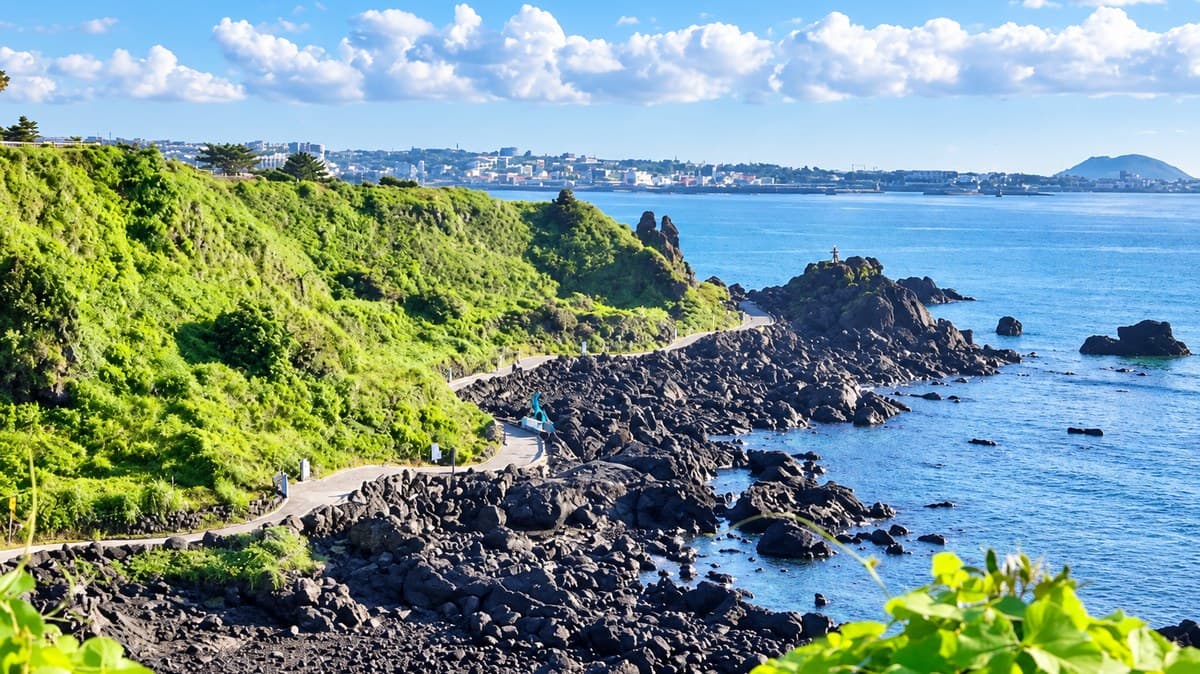
Jeju Fantasy Bicycle Path: The Complete Island Circuit
One 234 km loop right around Jeju, planned three ways — a two-day push, a five-day ride with the sights, or six days camping free on the beaches. Every single day has its own Kakao Map route link.
$9.99View itinerary →
Reviews
No reviews yet — be the first once you’ve tried it.