Instant Download • Mobile-Friendly + Printable PDF
The Four Rivers Bike Path: 4 Routes, Every Skill Level
Not one itinerary — four. A complete, extremely detailed day-by-day plan for every skill level, Expert to Intermediate, with a real Kakao Map link for every single day from someone who's actually ridden it.
Preview — see what you’ll download
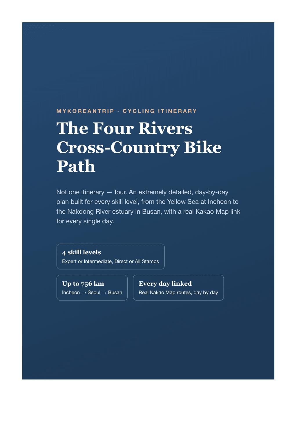
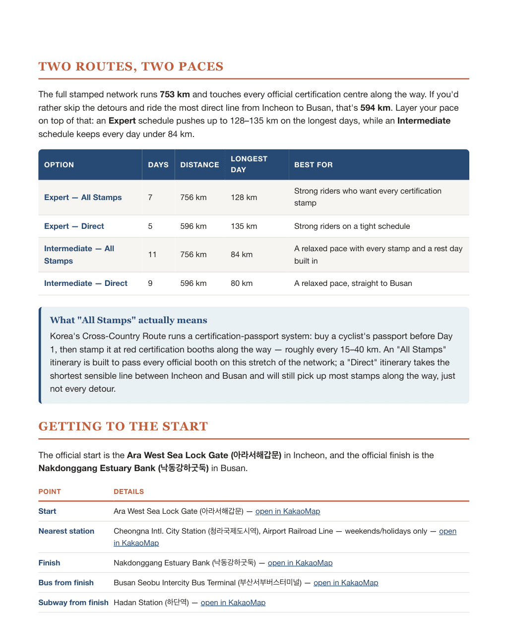
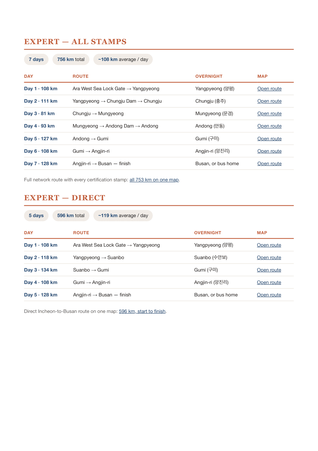
A few sample pages from the actual PDF — the full guide is 7 pages.
Most cycling guides give you one plan and hope it fits. This one gives you four — a complete, extremely detailed day-by-day itinerary built for every skill level, so you ride Korea's Four Rivers Cross-Country Bike Path at exactly your own pace, not someone else's.
Choose your difficulty level
- Expert — All Stamps (7 days, 756km) — up to 128km days, every certification stamp on the full network.
- Expert — Direct (5 days, 596km) — the fastest sensible line from Incheon to Busan, for strong riders on a tight schedule.
- Intermediate — All Stamps (11 days, 756km) — every stamp, no day over 84km, with a built-in rest day.
- Intermediate — Direct (9 days, 596km) — a relaxed, no-rush version of the same direct route.
Whichever level matches you, every single day is broken down in full — not a rough sketch, an exact, ridden plan.
What's inside
- 4 complete itineraries in one guide — effectively four separate route plans, each mapped out day by day at a genuinely different pace and distance, so there's a version built for exactly your fitness level.
- A real Kakao Map link for every single day of every itinerary — the actual road ridden, not a general direction, from someone who has done the whole thing.
- Every overnight stop named, including the one town worth booking two nights in a row.
- Getting to the start, including the exact rules for taking a folded, boxed, or assembled bike on the Airport Railroad Line.
- A full comparison table so you can see all four options — days, distance, longest day, who it's for — before you commit to one.
Real, ridden route data
Every distance, overnight stop, and map link in this guide comes directly from a friend of MyKoreanTrip's who has actually ridden this entire network — shared here with his permission. This is a route planned from the saddle, not from a desk.
Delivered as a print-and-mobile-friendly PDF you can save to your phone before you lose signal on the trail.
Reviews
No reviews yet — be the first once you’ve tried it.