Skip to content
MyKoreanTrip

Mountain park · Jeju

Hallasan National Park

한라산국립공원

The highest mountain in South Korea — a shield volcano with a crater lake on top.

Hallasan is the volcano that made Jeju, and at 1,947m it is the highest mountain in the country. The summit crater holds Baengnokdam, a lake that fills and empties with the rains.

Only two of the trails — Seongpanak and Gwaneumsa — go all the way to the crater rim, and both require a free reservation made in advance. The mountain is part of the Jeju Volcanic Island and Lava Tubes World Heritage Site, and unlike the other parks it is run by the province rather than the national park service.

Getting there from Seoul

Door-to-door estimates for a normal day; they stretch on a holiday weekend. Check the timetable before you rely on a last bus back.

  • Air

    Fly to Jeju — about an hour from Gimpo, and one of the busiest air routes in the world, so flights are frequent and often cheap. Then bus 281 to the Seongpanak trailhead or 475 to Gwaneumsa.

  • Ferry

    From Mokpo or Wando if you want to bring a car, roughly four hours. Slower and weather-dependent.

  • Car

    Only useful once you're on the island; hire at the airport. Note the summit trails need a free reservation booked in advance either way.

Wildlife & plants

Animals

Roe deer are everywhere and unbothered by people. The island has no bears, wolves or wild boar, so the ecology is unusually gentle. Jeju's endemic subspecies of shrew and the rare Jeju salamander live in the high wetlands.

Trees & flowers

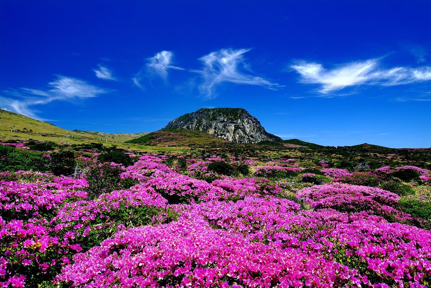
Over 1,800 plant species stacked in climate bands from subtropical at the coast to subalpine at the crater. The Korean fir forest near the summit is the largest in the world and is visibly dying back as temperatures rise. Royal azalea covers Seonjakjiwat in late May.

Korea’s wildlife is shy and mostly nocturnal — you’re far more likely to see tracks than animals. Wild boar are the one to know about: keep your distance, don’t run, and never get between a sow and her young.

What grows and lives here

The mountain up close

Hallasan is a shield volcano and effectively is Jeju — the island is the mountain’s flanks. Climbing it takes you through four climate zones in a morning, from subtropical broadleaf at the bottom to Korean fir and alpine scrub at the top, and the high grassland turns magenta with azalea at the start of June.

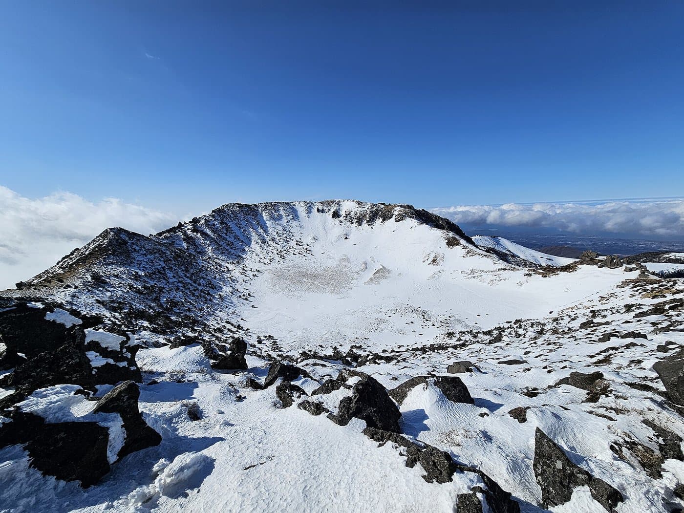
The snow-covered rim of Baengnokdam crater at the summit of Hallasan

Baengnokdam, the summit crater

Hallasan, Jeju

Photo by Sadopaul, CC BY 4.0

A field of magenta azaleas in full bloom on high grassland below a rocky volcanic dome

Azaleas on the high grassland, late May

Hallasan, Jeju

Photo by Korea.net / Korean Culture and Information Service, CC BY-SA 2.0

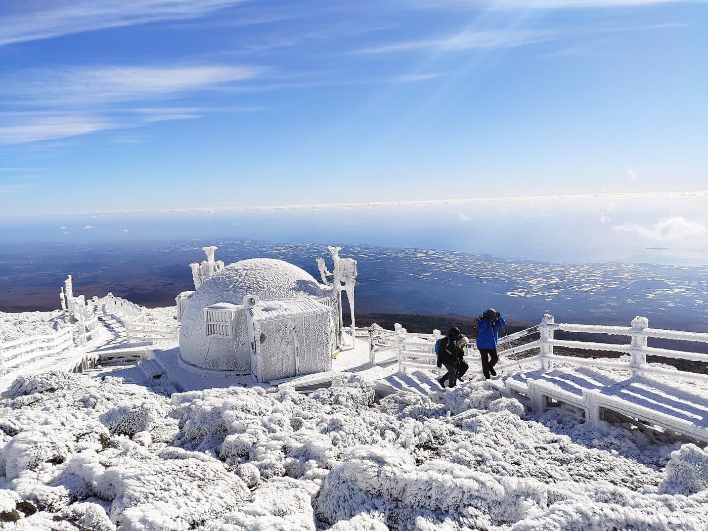
The summit shelter and railings at the top of Hallasan encased in wind-driven ice

The summit under rime ice

Hallasan, Jeju

Photo by Jaccoob23, CC BY-SA 4.0

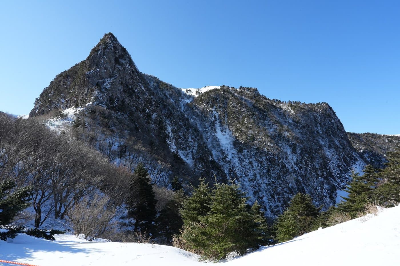
The sharp rocky peak of Samgakbong with snow on its flanks

Samgakbong, on the Gwaneumsa side

Hallasan, Jeju

Photo by Sadopaul, CC BY 4.0

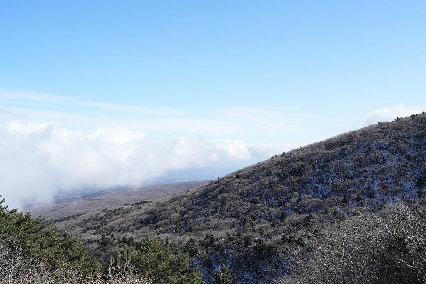
A bare upper slope of Hallasan with cloud lying below it

Above the cloud line

Hallasan, Jeju

Photo by Sadopaul, CC BY 4.0

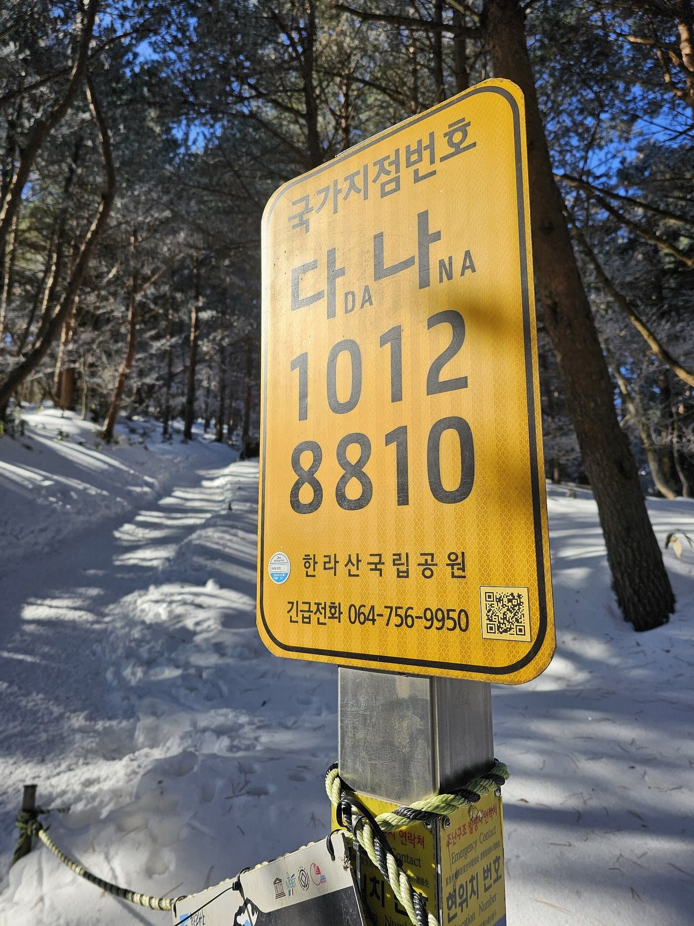
A yellow numbered emergency location post beside the Gwaneumsa trail

A numbered rescue post — quote it if you call for help

Gwaneumsa trail, Hallasan

Photo by Sadopaul, CC BY 4.0

You need a reservation, and there is a turnaround time

The two summit trails — Seongpanak and Gwaneumsa — require a free advance reservation, made online, with your name checked against ID at the gate. No booking, no summit. Book as early as you can; weekend slots in autumn go quickly.

There is also a cut-off partway up each trail, and rangers enforce it. Reach it after the posted time and you are turned back regardless of how you feel. The times shift with the season and are earlier in winter, so check them the week you go rather than trusting a blog.

Walking it

Five trails, two summits

Only two of Hallasan’s trails reach Baengnokdam, the summit crater. The other three climb to the high plateau at around 1,700m and stop there — which is not a consolation prize, because the azalea fields and the best of the alpine scenery are exactly where they end.

Seongpanak

The way most people summit

Distance
9.6 km
Time
4 hr 30 min up
Grade
advanced

Route: Seongpanak → Sokbat shelter → Jindallaebat shelter → Baengnokdam

Getting to the start: Bus 281 from Jeju City or Seogwipo stops at Seongpanak. Roughly 40 minutes from Jeju City.

Longer than Gwaneumsa but far gentler — a long steady forest walk that only gets properly steep in the last stretch above Jindallaebat. This is the one to pick if you want the crater without a fight. Reservation required.

Gwaneumsa

The hard, spectacular one

Distance
8.7 km
Time
5 hr up
Grade
advanced

Route: Gwaneumsa campground → Samgakbong shelter → Wangkwanneung → Baengnokdam

Getting to the start: Taxi or bus from Jeju City to the Gwaneumsa campground.

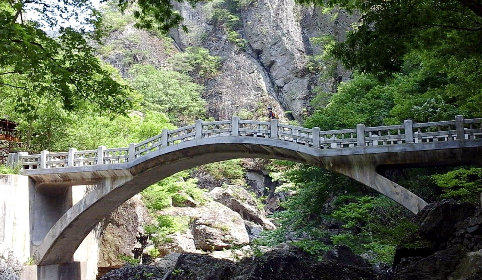
Shorter on the map and much harder on the legs — this is the steep northern side, with the ridges, the suspension bridge and Samgakbong. The classic day is up Seongpanak and down Gwaneumsa, which needs transport arranged at both ends. Reservation required.

Yeongsil

Best scenery for least effort

Distance
5.8 km
Time
3 hr 15 min up
Grade
average

Route: Yeongsil ranger station → Byeongpungbawi → Witseoreum (1,700m)

Getting to the start: Bus 240 to the Yeongsil entrance, then 2.5km up the access road to the trailhead.

The shortest and prettiest climb on the mountain, past the rock pillars of the Five Hundred Generals. Ends at Witseoreum shelter on the plateau, not the summit. No reservation needed, and the azalea fields in late May are here.

Eorimok

The quiet plateau walk

Distance
6.8 km
Time
3 hr up
Grade
average

Route: Eorimok → Manse dongsan → Witseoreum (1,700m)

Getting to the start: Bus 240 from Jeju City to Eorimok.

Climbs through fir forest to the same plateau as Yeongsil. Pairing the two — up one, down the other — is the best half-day on Hallasan for anyone not attempting the crater. No reservation needed.

Donnaeko

The forgotten southern trail

Time
4 hr up
Grade
average

Route: Donnaeko → Pyeongungyegok → the southern plateau

Getting to the start: From Seogwipo on the south coast rather than Jeju City.

The least-walked route on the mountain, up through thick southern forest from the Seogwipo side. Quiet even in October. It also ends short of the summit. Published distances for this one disagree between sources, so treat the walking time as the planning figure and check the board at the ranger station.

Distances are one way as published by the park. Summit trails require an advance reservation and have enforced turnaround times.

The mountain that is the island

Baengnokdam and the white deer

1,947 m
Height
1970
Designated
2007
World Heritage
≈550 m across
Crater lake

Hallasan is the highest mountain in South Korea and a shield volcano — broad and low-angled rather than a cone, built up over hundreds of thousands of years of runny lava. Jeju is not an island with a mountain on it so much as a mountain with an island around it, and the several hundred smaller cones scattered across the landscape, the oreum, are its side vents.

At the top is Baengnokdam, a crater roughly 550m across with a shallow lake in the bottom that fills after rain and can dry to a puddle in a hard summer. The name means ‘white deer lake’, from the story that the immortals came down to drink here with white deer. It is a genuine caldera, not an impact or a gouge, and standing on the rim is the highest you can be in the country.

In 2007 UNESCO inscribed Jeju Volcanic Island and Lava Tubes as a World Heritage Site, with Hallasan as one of its three components. The park is also a biosphere reserve and a global geopark, which is an unusual clean sweep.

Climb it and you pass through most of Korea’s climate in a morning — subtropical broadleaf at the base, temperate forest in the middle, Korean fir near the top and alpine scrub on the rim. Roughly 1,800 plant species grow on this one mountain. The fir stands near the summit are dying back as the climate warms, which is now one of the more closely watched pieces of ecology in the country.
More parks

All 23 national parks →