Skip to content
MyKoreanTrip

Mountain park · South Chungcheong, Daejeon

Gyeryongsan National Park

계룡산국립공원

A ridge of jagged peaks and old temples on the edge of Daejeon.

The name means 'rooster dragon mountain', after a ridgeline said to look like a dragon's back with a cockscomb. It was one of the first three parks designated, back in 1968.

Two substantial temples sit on opposite flanks — Donghaksa on the east, Gapsa on the west — and the classic day walk crosses between them over the ridge.

Getting there from Seoul

Door-to-door estimates for a normal day; they stretch on a holiday weekend. Check the timetable before you rely on a last bus back.

  • Train

    KTX to Daejeon, about an hour, then city bus 107 to the Donghaksa entrance. This is the quickest national park day trip from Seoul.

  • Bus

    Express coach to Daejeon or Gongju, roughly 2h.

  • Car

    About two hours. Donghaksa and Gapsa are on opposite sides, so if you cross the ridge you'll need to bus back round to your car.

Wildlife & plants

Animals

Wild boar, roe deer, raccoon dog and marten. The valleys are good for woodpeckers, and flying squirrels are present though rarely seen.

Trees & flowers

Mixed oak and pine with dense fern in the valleys. The stretch of road up to Donghaksa is lined with cherry trees and is a well-known spring drive.

Korea’s wildlife is shy and mostly nocturnal — you’re far more likely to see tracks than animals. Wild boar are the one to know about: keep your distance, don’t run, and never get between a sow and her young.

What grows and lives here

The mountain up close

Gyeryongsan is a ridge of twenty-eight peaks and seven valleys sitting between Daejeon and Gongju, and it is small enough to cross in a day. The name means ‘rooster-dragon mountain’, from a skyline that was thought to look like a dragon wearing a rooster’s comb.

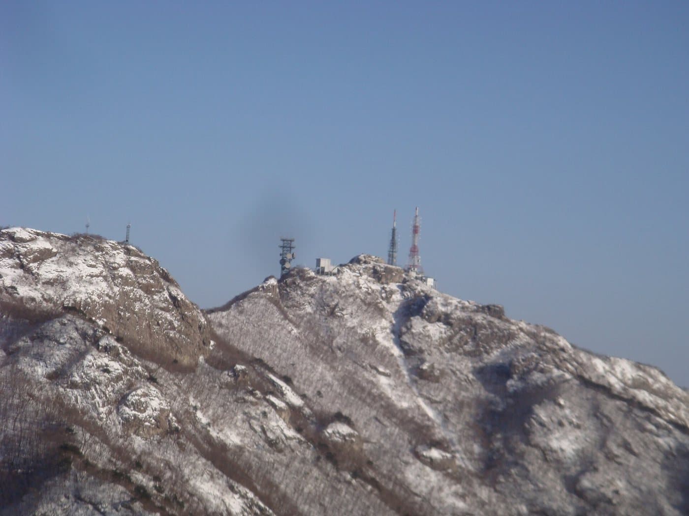
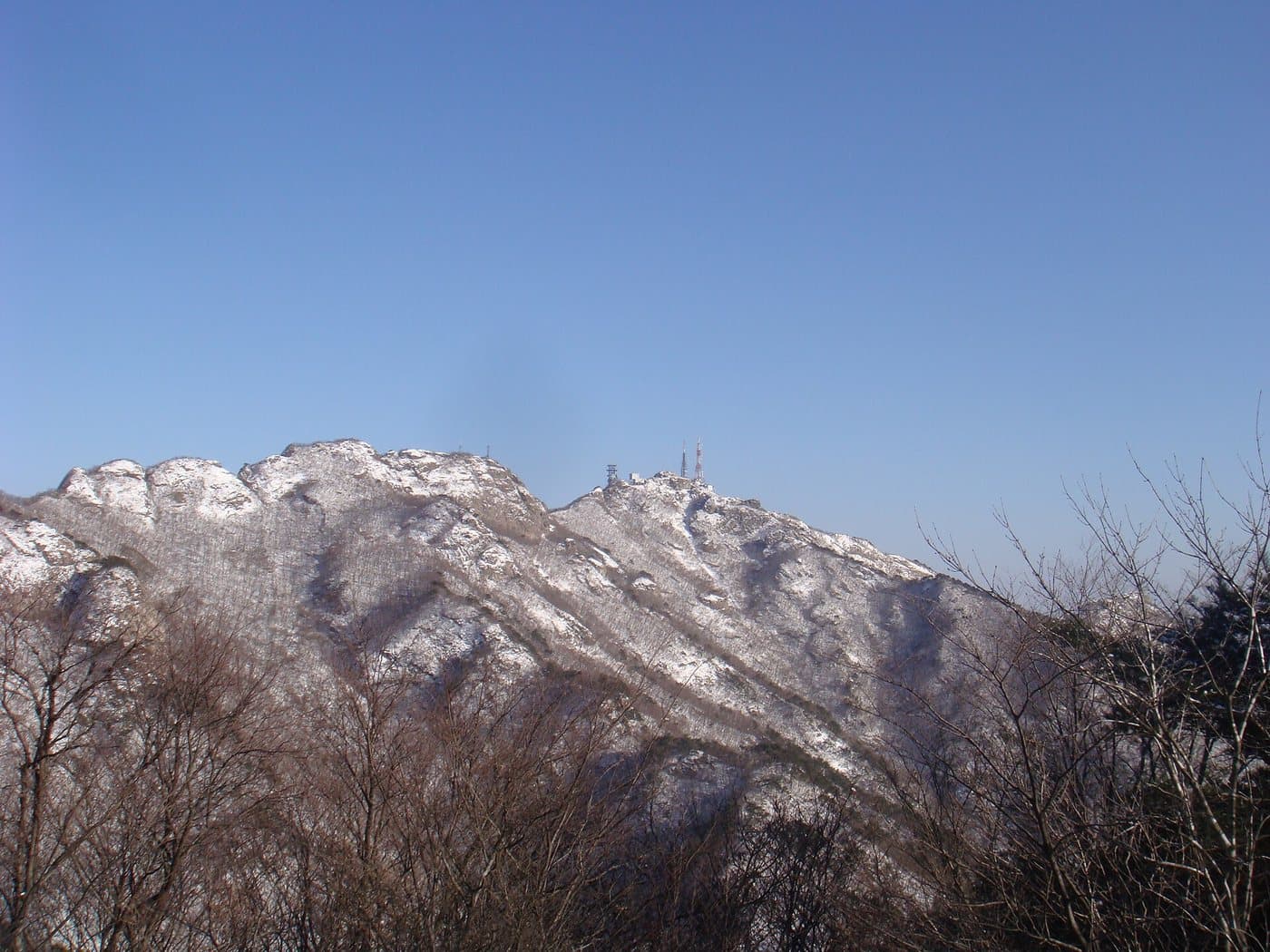
The snow-dusted summit ridge of Gyeryongsan

The summit ridge in winter

Gyeryongsan

Photo by Ryuch, CC BY-SA 3.0

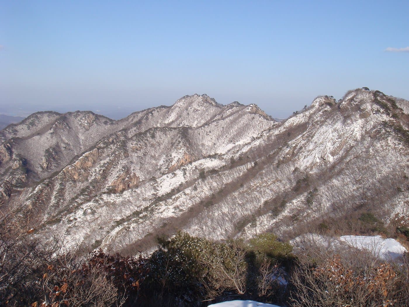
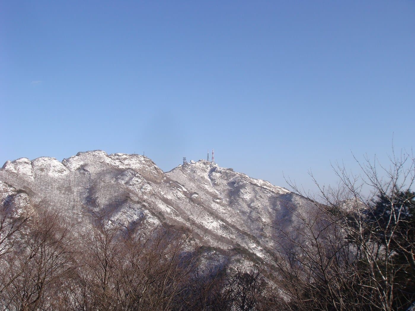
Gyeryongsan's main ridge seen from Yeoncheonbong peak

The ridge from Yeoncheonbong

Gyeryongsan

Photo by Ryuch, CC BY-SA 3.0

Bare winter trees along a rocky section of the Gyeryongsan ridge

Along the ridge path

Gyeryongsan

Photo by Ryuch, CC BY-SA 3.0

Snow lying on the rocks and scrub of the Gyeryongsan ridge

Snow on the rocks

Gyeryongsan

Photo by Ryuch, CC BY-SA 3.0

The summit itself is closed

Cheonhwangbong, the 845m high point, carries military installations and is off limits. The walking routes cross the ridge over Gwaneumbong, Sambulbong and Yeoncheonbong instead. This catches people out — do not plan a day around standing on the actual summit, because you cannot.

Walking it

Temple to temple, over the ridge

The classic Gyeryongsan day starts at one temple, crosses the ridge and comes down at another, which means you never retrace your steps and you can bus out from the far side. Both temples are worth the time in their own right.

Donghaksa to Gapsa

The classic crossing

Time
5–6 hr
Grade
advanced

Route: Donghaksa → Eunseonpokpo falls → Gwaneumbong → Sambulbong → Gapsa

Getting to the start: Bus 107 from Daejeon to Donghaksa; bus back to Gongju or Daejeon from Gapsa.

The walk that defines the park: up through one temple valley, over the ridge, down through the other. Steep in both directions with a lot of steps, and the Eunseon falls are on the way up.

Donghaksa to Gwaneumbong

Half the crossing

Time
3–4 hr return
Grade
average

Route: Donghaksa → Eunseonpokpo falls → Gwaneumbong → back down

Getting to the start: Bus 107 from Daejeon.

The same climb without committing to the far side. Good if you are not certain about transport at the other end, and it still gets you the ridge view.

Gapsa valley

A gentle afternoon

Time
1–2 hr
Grade
easy

Route: Gapsa car park → the temple → the valley path above it

Getting to the start: Bus from Gongju.

Gapsa is the older and quieter of the two temples, founded in the fourth century. The valley walk above it is flat enough for anyone and is at its best in autumn.

Yeoncheonbong from Sinwonsa

The quiet side

Time
3 hr return
Grade
average

Route: Sinwonsa → Yeoncheonbong (739m)

Getting to the start: From the western, Nonsan side of the park.

The least-walked of the three temple approaches, up to a ridge peak that looks straight across at the closed summit.

Given by walking time; the park is compact and the routes are short but steep.

Korea's second national park

The mountain of prophecies

1968
Designated
65 km²
Area
28
Peaks
845 m
Cheonhwangbong

Gyeryongsan became a national park in 1968, the second in the country after Jirisan. At 65 km² it is one of the smallest, and it sits close enough to Daejeon that the city bus will take you to the trailhead.

Its reputation is odd and entirely its own. For centuries Gyeryongsan was held to be a place of enormous geomantic power, and the Jeonggamnok — a prophetic text that circulated for generations — was read as predicting that a new dynasty would found its capital at the foot of this mountain. In the 1390s the founder of the Joseon dynasty actually began building a capital here before abandoning the site and choosing Seoul instead. You can still see the foundation stones.

That reputation drew religious communities of every kind to the valleys — Buddhist, shamanic, and a long list of new religious movements. Many were cleared out in the 1980s, but the mountain keeps the atmosphere.

The two great temples are Gapsa, founded in the fourth century on the western side, and Donghaksa on the eastern, which is one of the main training monasteries for Buddhist nuns in Korea. Walking from one to the other over the ridge is the reason most people come.
More parks

All 23 national parks →