Instant Download • Mobile-Friendly + Printable PDF
Top 15 Hikes in South Korea: The Ultimate Hiking Guide
From Seoul's granite peaks to Hallasan and Seoraksan, discover 15 unforgettable hikes with trail information, difficulty levels, directions and the best viewpoints.
Preview — see what you’ll download
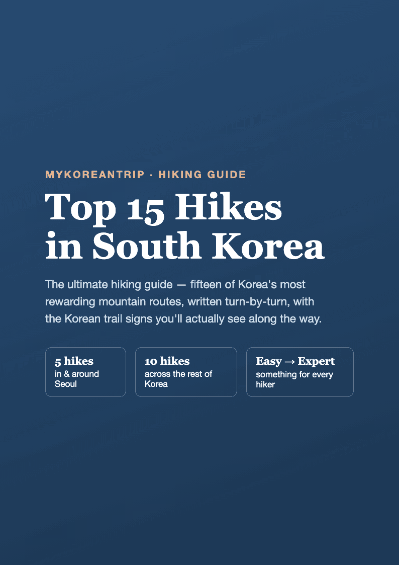
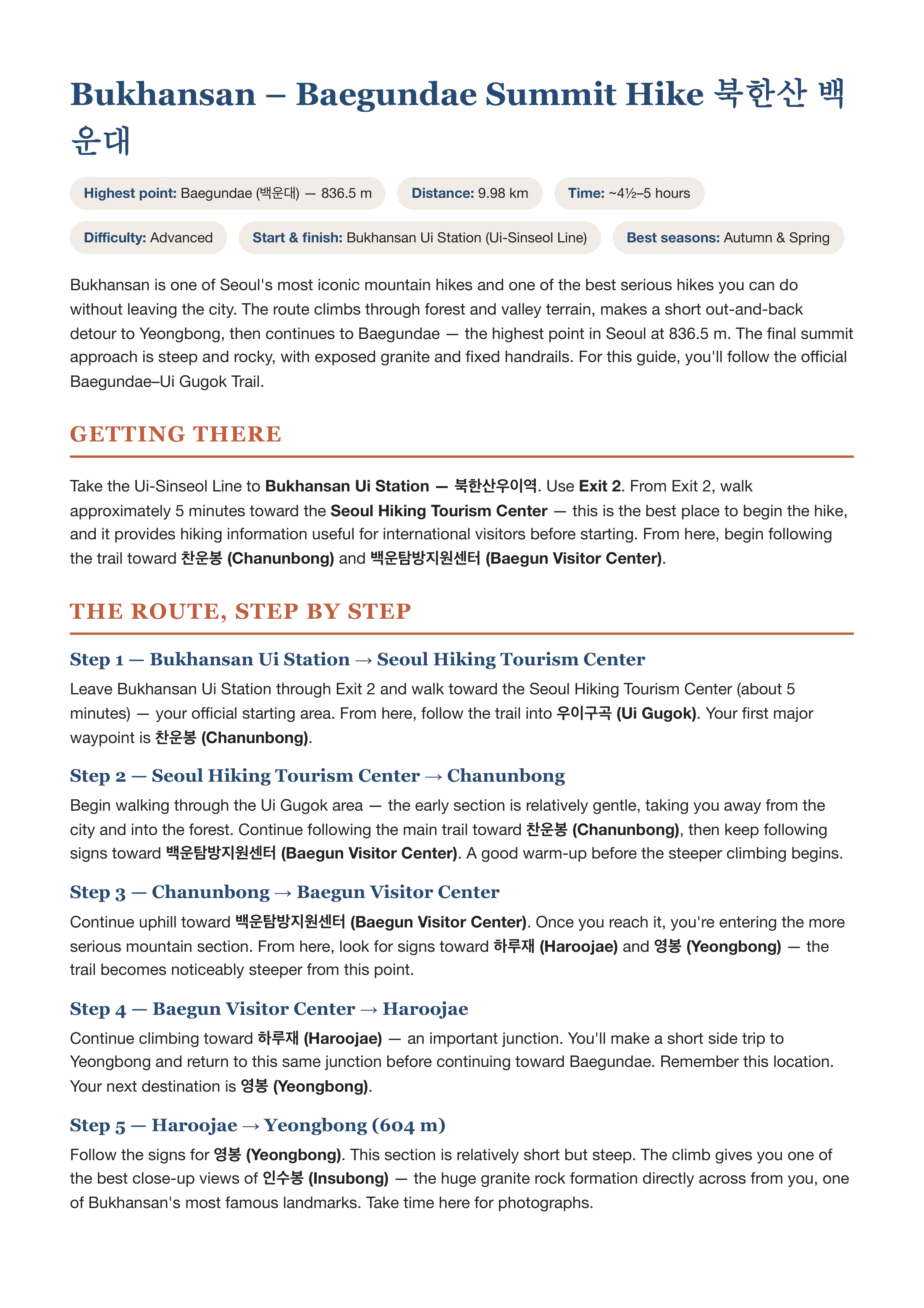
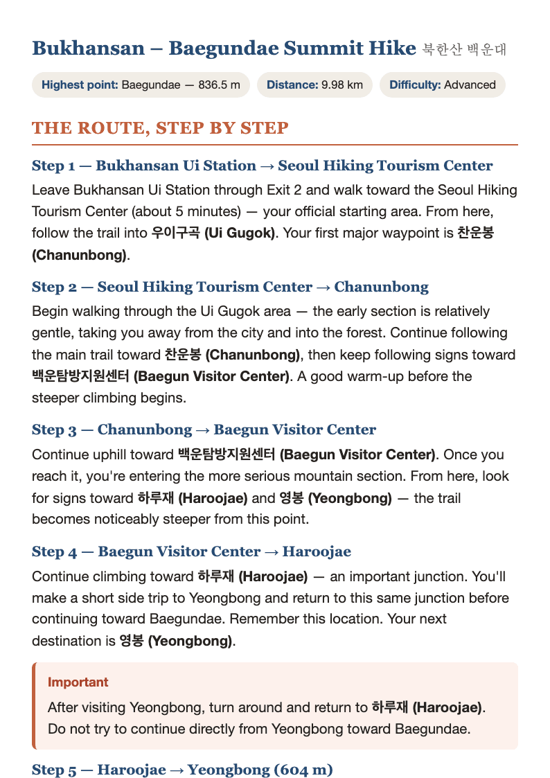
A few sample pages from the actual PDF — the full guide is 76 pages.
A 76-page, turn-by-turn hiking guide covering 15 of South Korea's best mountain routes — five reachable straight from Seoul's subway, and ten more across the rest of the country.
What's inside
- A full-page infographic for every hike — route map, quick facts, photo-by-photo walkthrough, packing list, and best-season guide, at a glance.
- Turn-by-turn written directions for all 15 routes, step by step, so you always know what's next.
- Every Korean trail sign called out, with the Korean characters alongside the English name, so you can match what's written on your phone to what's on the post in front of you.
- Real safety warnings for the sections that need them — rope-assisted climbs, exposed ridges, reservation requirements, seasonal closures — not generic disclaimers.
- Packing lists, best seasons, and difficulty ratings for every hike, from an easy 2-hour sunset walk to a 12–14 hour expert traverse.
The 15 hikes
In & around Seoul: Bukhansan (Baegundae), Suraksan (Gichabawi/Train Rock), Dobongsan (Sinseondae), Achasan (Han River & skyline), Gwanaksan (Yeonjudae).
Outside Seoul: Hallasan (Baengnokdam), Seoraksan (Dinosaur Ridge), Jirisan (Cheonwangbong), Deogyusan (Hyangjeokbong), Odaesan (Birobong), Gayasan (Sangwangbong), Woraksan (Yeongbong), Naejangsan (Sinseonbong), Songnisan (Cheonwangbong), Wolchulsan (Cheonhwangbong).
Delivered as a print-and-mobile-friendly PDF you can save to your phone before you lose signal on the trail.
Reviews
No reviews yet — be the first once you’ve tried it.